LiDAR360 MLS V7 Released! Unleashing the Power of AI-Driven Feature Extraction!
The LiDAR360 MLS Point Cloud Feature Intelligent Extraction and Analysis Software welcomes the upgrade to version 7. This version includes the addition and optimization of nearly a hundred features. The release of this new version incorporates more intelligent algorithms into point cloud processing and analysis, allowing users to experience the charm of AI-driven data processing, effectively enhancing the efficiency and accuracy of data processing. It also expands on various 3D mapping and spatial analysis functionalities, making point cloud data better suited to serving multiple industries.
Let’s take a closer look at the specifics of this latest update!
1.Intelligent Feature Extraction: AI Leading the Era of Spatial Intelligence.
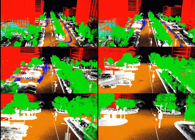
(1) No matter the device, no matter the scene, our point cloud classification model excels in all situations.
In the new version, more pre-trained point cloud segmentation models have been integrated, allowing direct point cloud classification for different scenarios such as vehicular and SLAM data. This effectively removes noise like moving objects and quickly identifies point clouds of target categories, enhancing data usability.
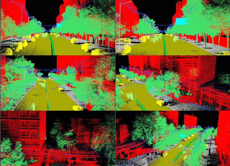

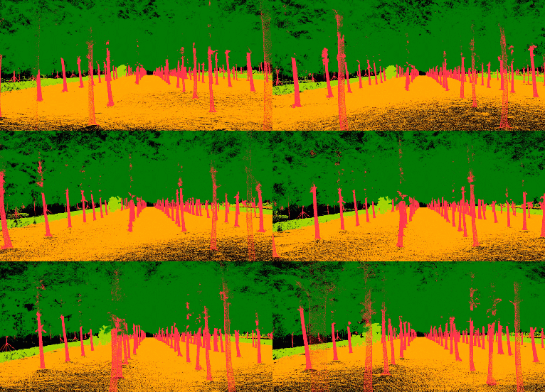
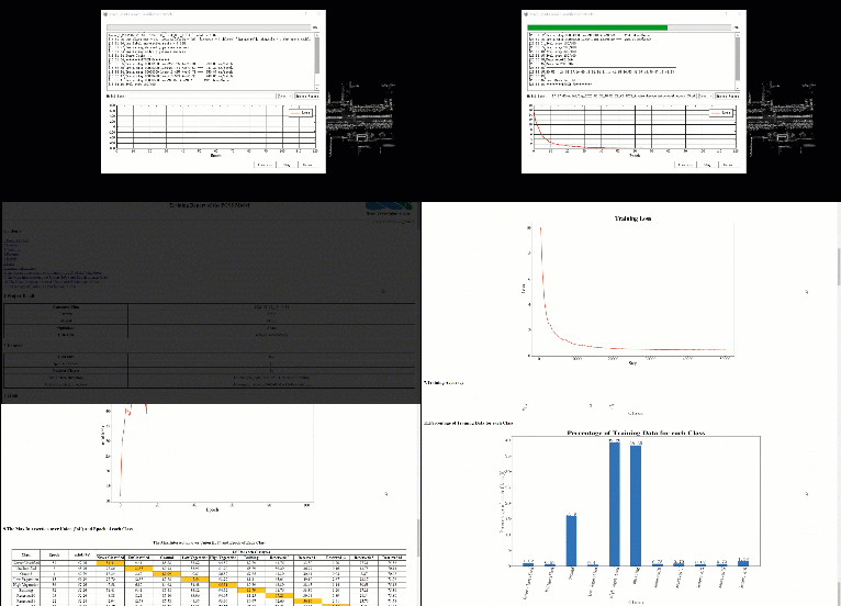
(2) New custom point cloud deep learning classification, users can train models suitable for their own data,and also added a few-sample learning model.
Due to the complexity and variety of real-world geographic features, the demand for point cloud classification varies across different projects. To address this issue, we offer autonomous sample labeling, allowing users to train their proprietary classification models based on specific needs. This enables users to customize the processing and classification of point cloud data according to the focus of their projects, addressing the challenges of data classification in various projects. Through this feature, users can better meet their individualized requirements and achieve more efficient and accurate data processing and analysis.
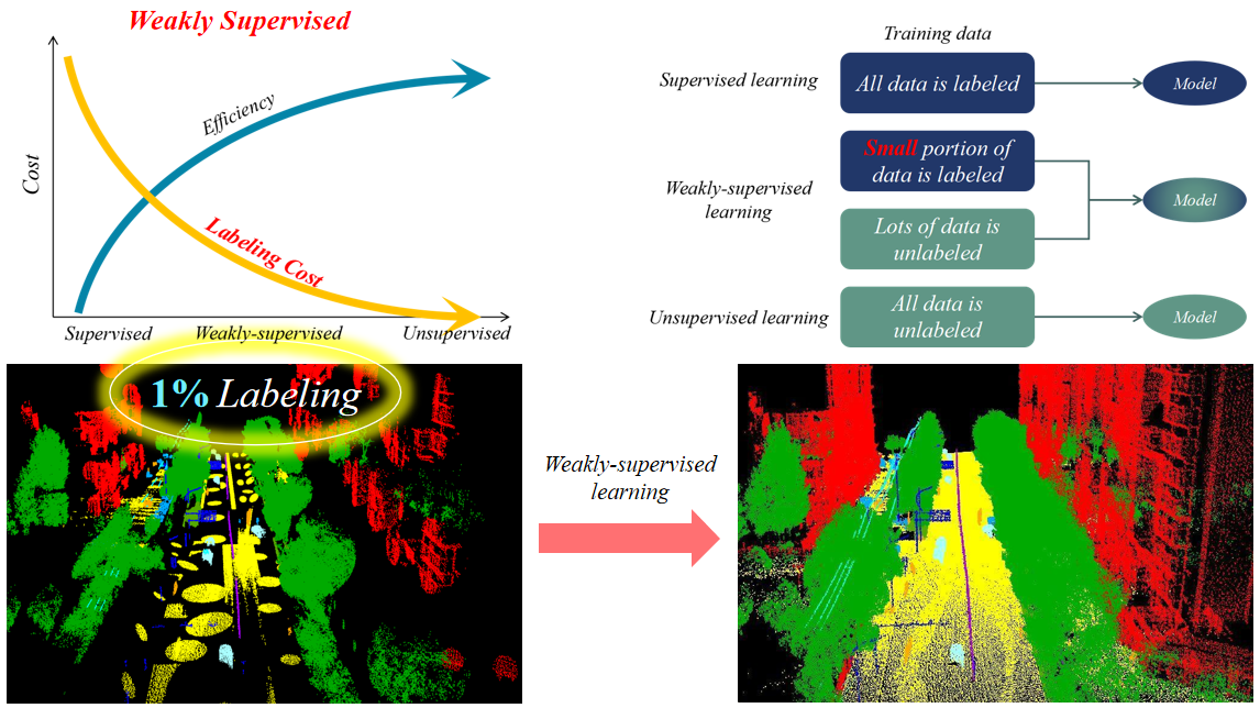
(3) One-click automatic extraction of road surface and facility features, accurately depict digital traffic twin maps.
The new version has achieved AI-based automatic extraction and vectorization of road lanes, crosswalks, arrow symbols, etc., with an extraction accuracy of up to 90%.
2.Over 100 vector mapping and processing tools,with continuously improving interactive experiences.
(1)New added 3D mapping based on imagery data, greatly enhances data recognition.
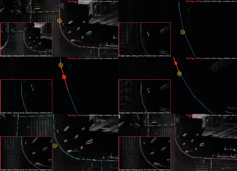
(2)New added vector topology editing mode allows synchronous editing of shared areas among multiple objects.
(3)Attribute management supports real-life photos and field calculators, meeting the needs of multiple industries.
(4)New vector geometry and attribute quality inspection tools, effectively ensure the accuracy of mapping results.
3.3D Spatial Analysis: Decoding the Stereoscopic World.
(1) Multiple Height Limit Analyses for Ensuring Road Safety.
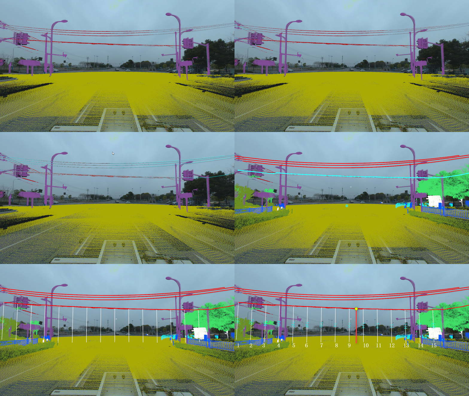
(2) Vehicle Collision Simulation Analysis: Predicting Driving Safety in Advance, Reducing Risk Costs.
4.Precise management of single tree assets
(1) Urban forestry survey enables fine-grained management of each tree, empowering the creation of a green and livable future.
(2) Ecological landscape analysis and thematic map production provide scientific assessment of urban space quality.
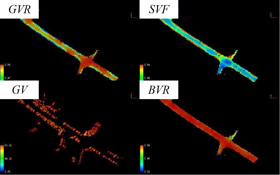
Ecological landscape thematic map
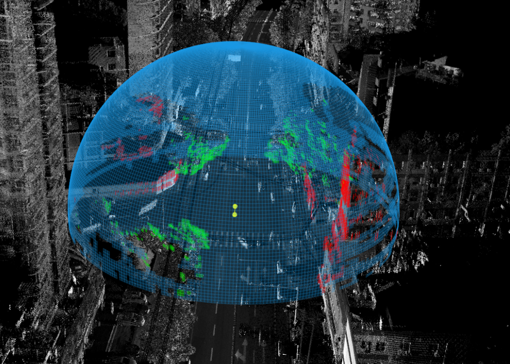
Ecological landscape simulation analysis

 Tiếng Việt
 中文 (中国)
 ភាសាខ្មែរ
 ພາສາລາວ
 ဗမာစာ
ဗမာစာ Français
 Aragonés
 অসমীয়া
 Русский
 العربية


